Combining the best of Italian expertise and advanced technology, we provide you with tailored solutions that meet your exact needs.

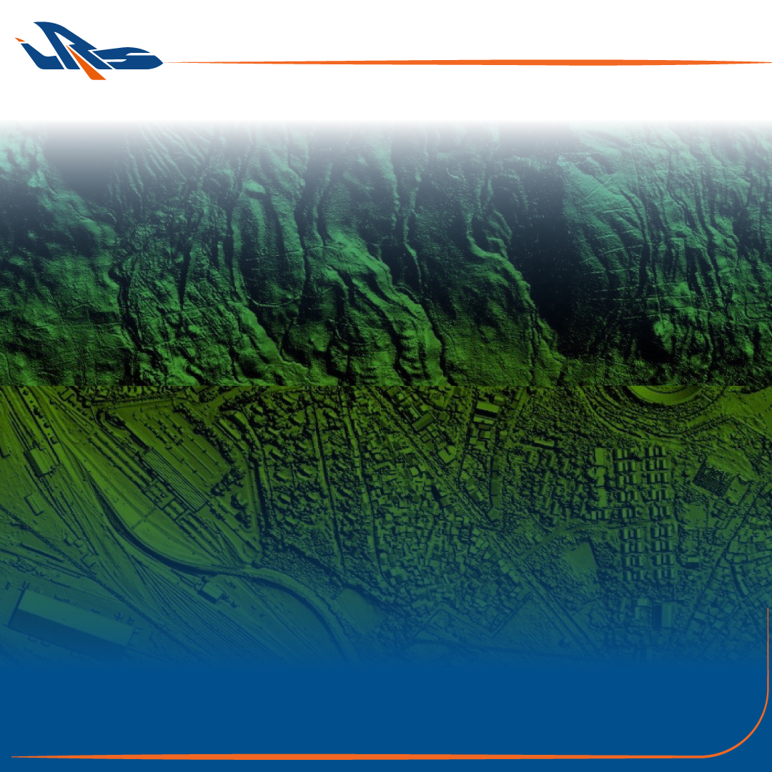
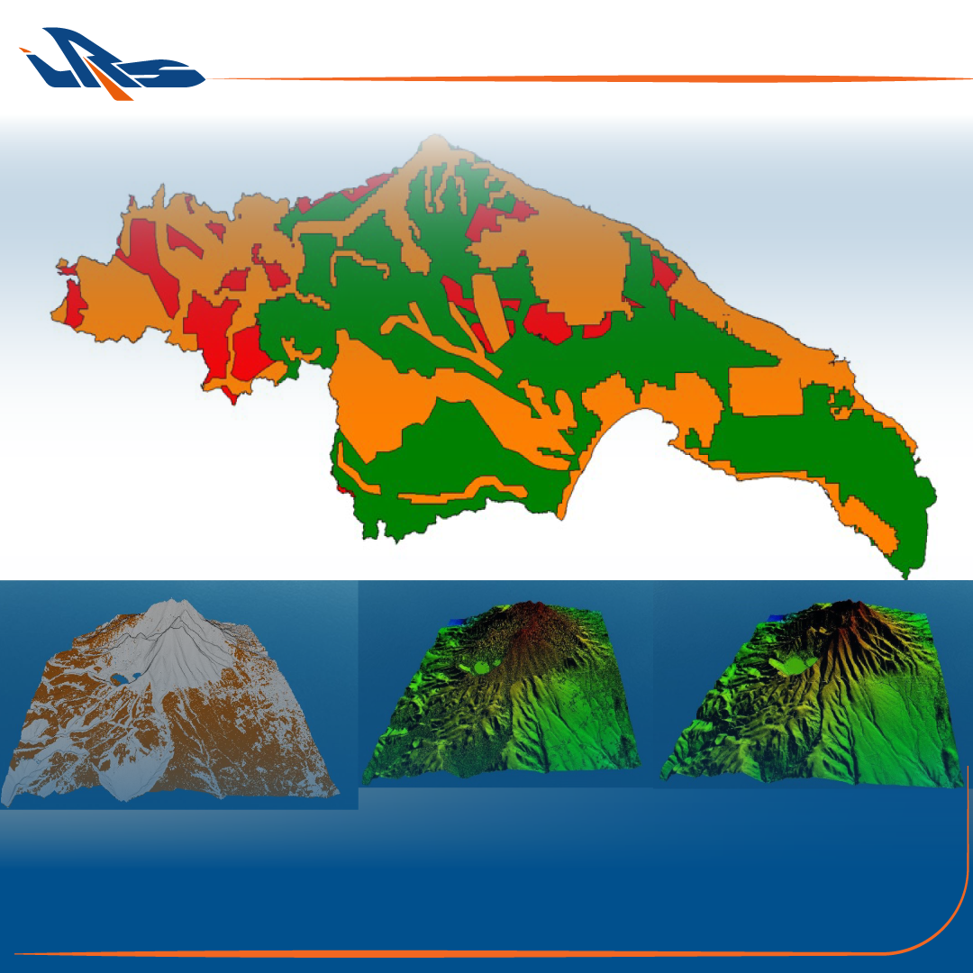
Explore the territory like never before. Without distance limitations, our technologies offer you an unprecedented view of the territory.

We observe the world with new eyes. Thanks to our sensors, we monitor and analyze the environment in depth.
We are professionals in the remote sensing field.
Founded in 2014, IRS is a company dedicated to excellence and committed to delivering reliable results.
- In-depth technical knowledge.
- Advanced technology and a privately owned air fleet.
- Proven success in projects, both nationally and internationally, backed by relevant certifications.
Our goal is to listen to your needs, work together with you, and empower your vision.
Our Fleet
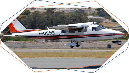
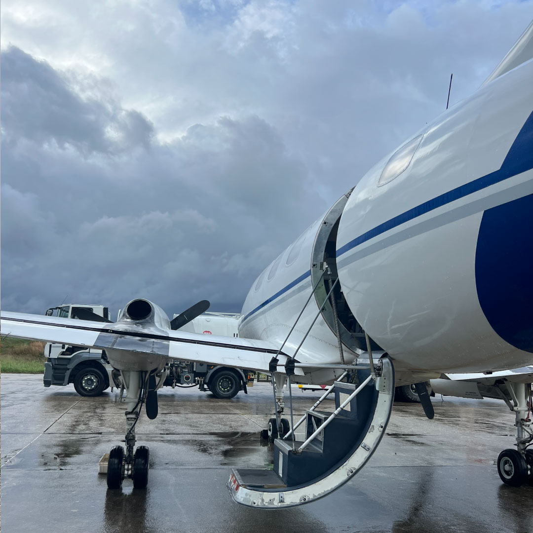
Partenavia P68C-TC
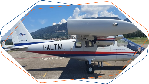
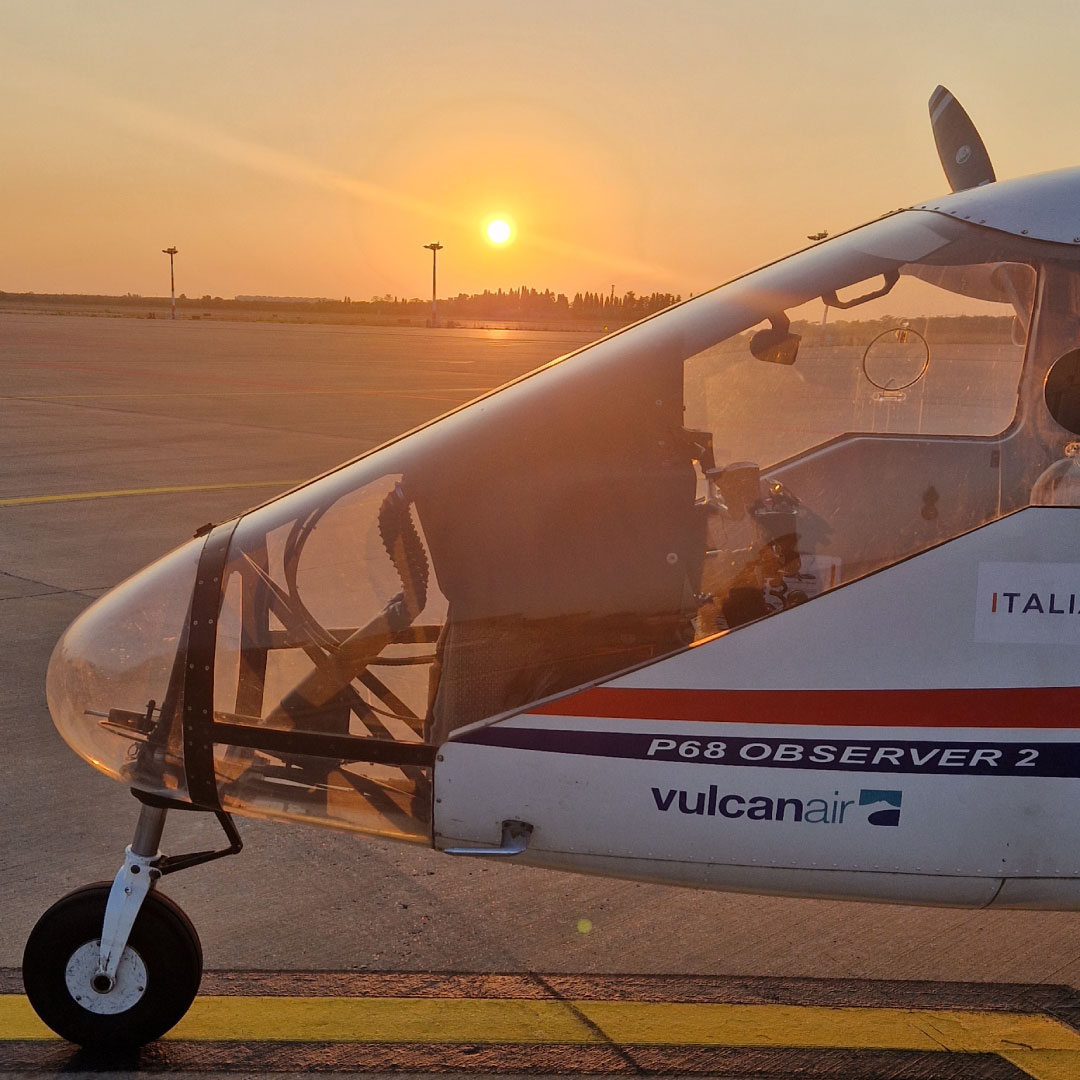
Vulcanair P68 Obs2
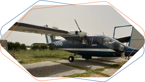
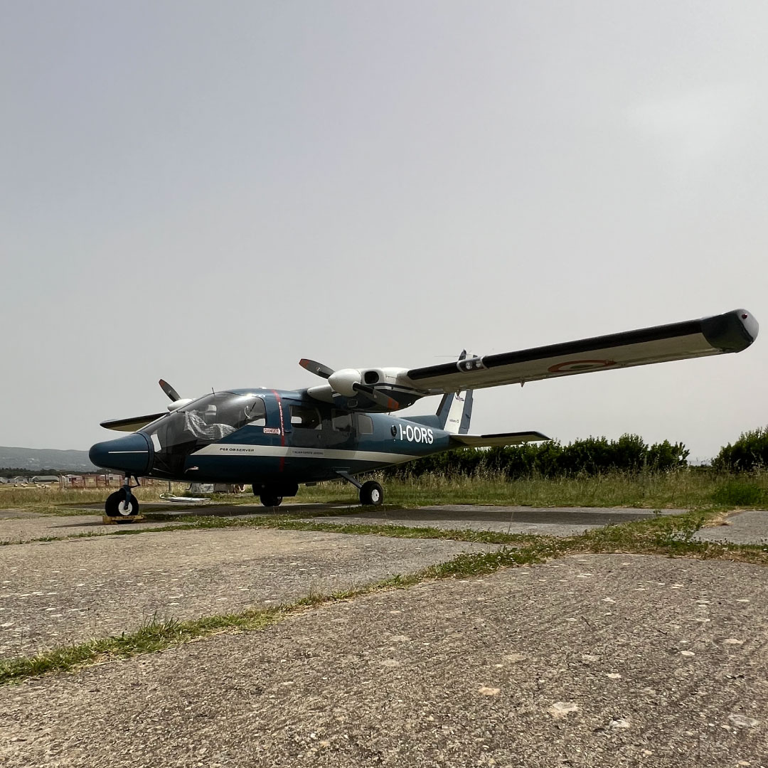
Vulcanair P68 Obs
Our Tech Equipment
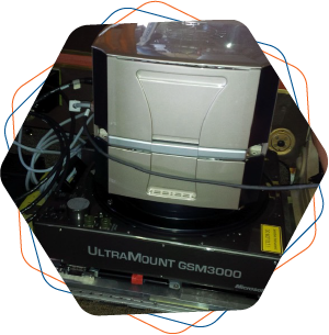
Digital aerial photogrammetric camera (Vexcel UltraCamEagle Mk1)
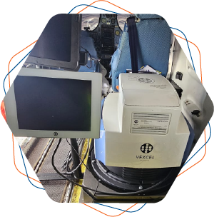
Nadir+Oblique Photogrammetric Camera (Vexcel UltraCamOsprey 4.1)
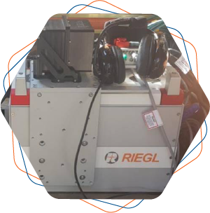
2x LiDAR Riegl VQ780ii
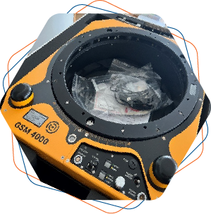
LiDAR Riegl VQ1460 (with gyrostabilizer)
Services
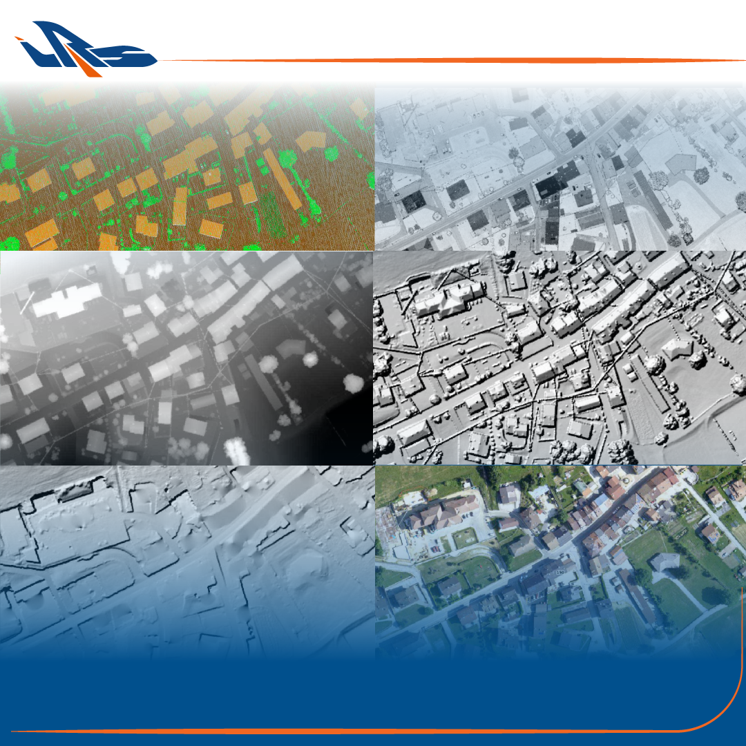
We have at our disposal tools and technical skills to offer to the market a wide range of services
To complete all the technical services of data collection and analysis, we assist our customers during all the project phases with SUPPORT and TRAINING activities
Innovation flies high
...to tackle even the most complex challenges.
We fly over the skies to bring value to the territory
Contact usExperience
10 years of experience:
complex projects that have enriched our knowledge and increased our reliability
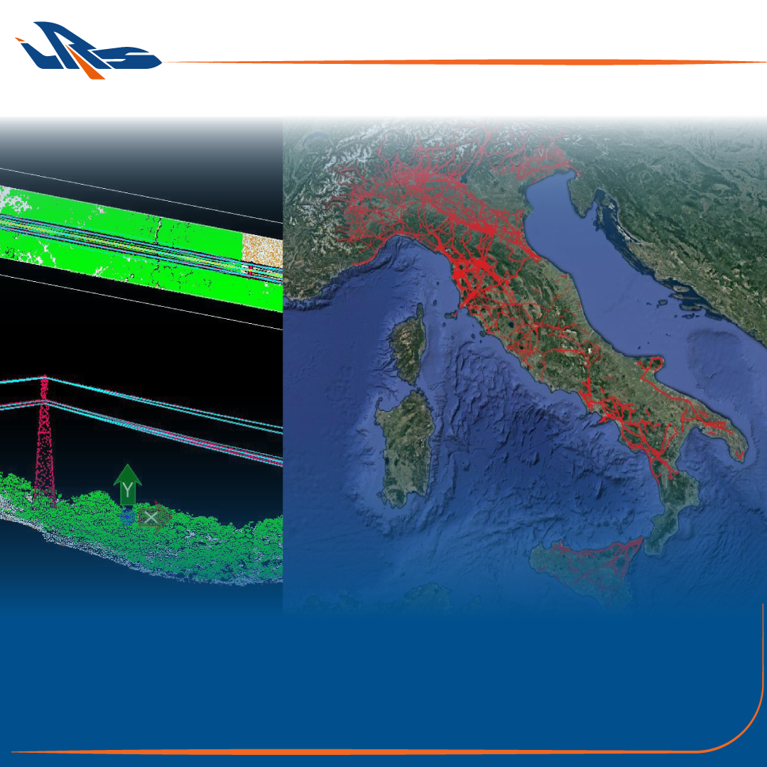
We have explored and analyzed not only Italy, but also Germany, Austria, Romania, Malta, Georgia, Costa Rica, Cameroon, South Sudan, Croatia, Albania and Portugal.
- ALL
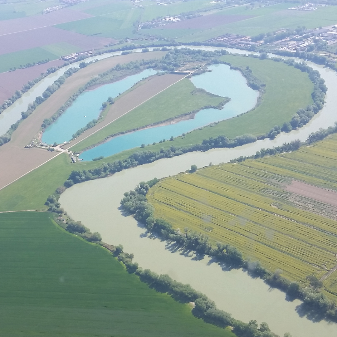
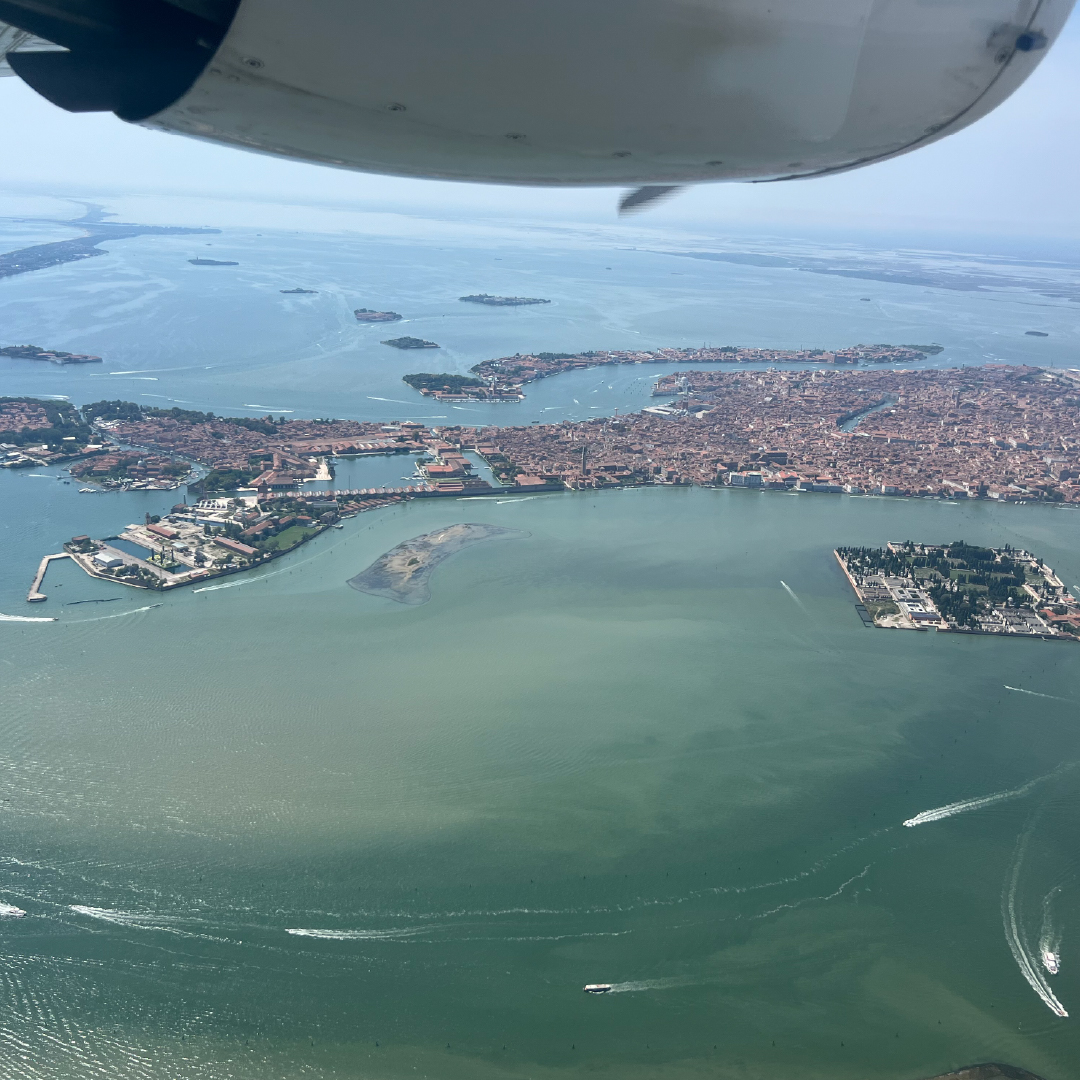
- Landscapes
- Planes
- Reports
News
We participate in training and association activities in the sector. We travel, we keep up to date and we search for the best partnerships.
We visit and participate in national and international fairs.
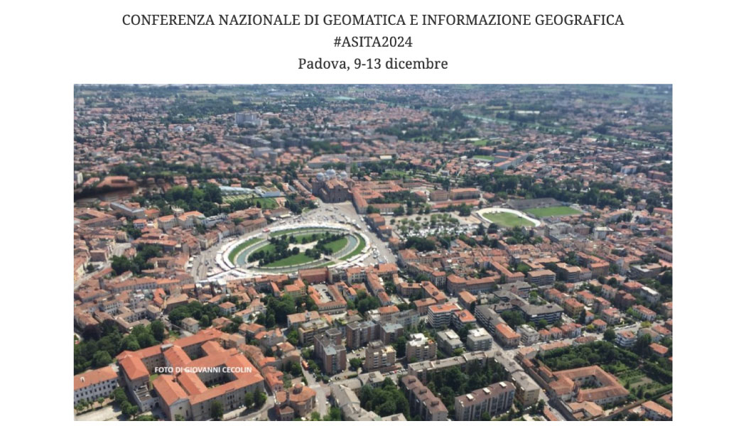 Dicember 2024
✈️✈️✈️✈️ Italian Remote Sensing Srl sarà sponsor, espositore e relatore all'#ASITA2024 che si terrà dal 9 al 13 Dicembre 2024 a Padova. Vi aspettiamo!!!!!
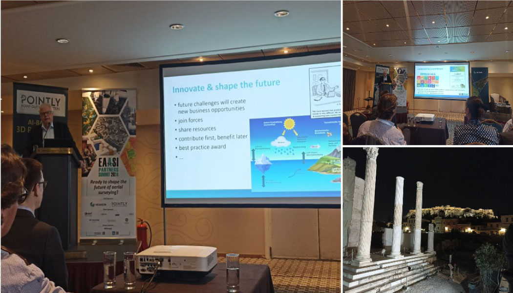 November 2024
Final day in #Athens for the annual EAASI summit! "Shaping the future of aerial surveying". Share, learn, connect. #Mappingtheworld #WeareEAASI #Aerialsurveying #lidar #airbornemapping
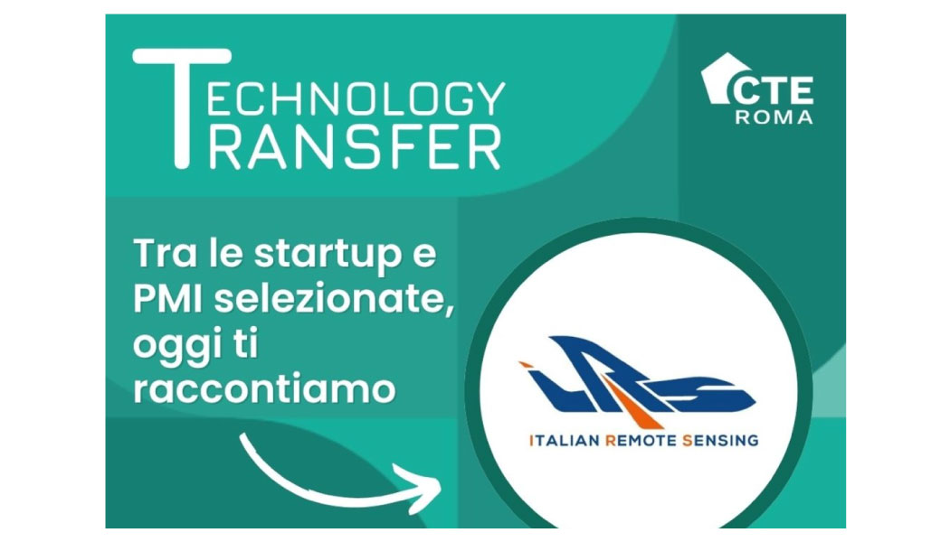 July 2024
📡 Oggi vi presentiamo Italian Remote Sensing Srl: una PMI di telerilevamento aereo conosciuta a livello globale. In bocca al lupo a tutto il team #italianremotesensing: Christian Peloso, Luca Rampa.
Contact
We are happy to listen to your needs. Do not hesitate to contact us!


